
Miami
Miami combines beachside streets, hillside properties and established residential pockets around a busy coastal centre. New homes and major renovations need to respond to terrain, ocean weather, overlooking, traffic and changing neighbourhood scale while maintaining a clear, relaxed way of living.
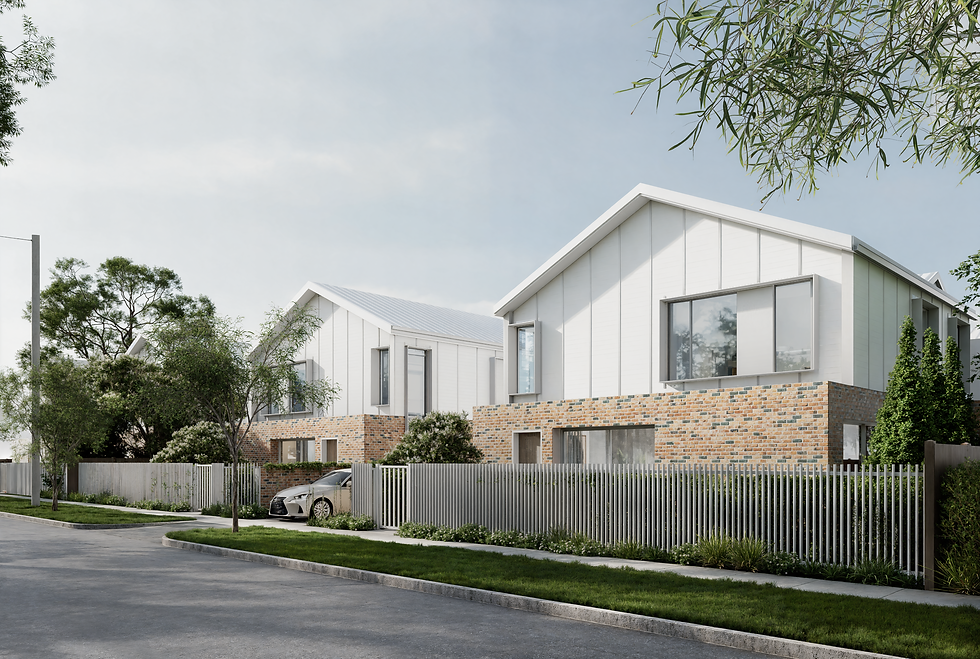
Beachside streets and hillside outlooks, carefully balanced.
Version 13 mapping in Miami includes varying residential densities and heights, foreshore and waterway controls, flood assessment, bushfire and landslide mapping, state-road noise and a mapped local heritage sign. The official locality covers very different landforms, so these matters cannot be applied as a single suburb-wide rule. Current City Plan information, survey levels and the scope of work should be checked together for the address.
Miami-wide mapping is a research starting point, not proof that a particular property is affected. Confirm the current zone, overlays, title constraints, levels and approval history for the actual address before relying on a design or approval outcome.
Considering a project in Miami?
Share the property address and the main constraints you already see. We can help test the planning, slope and design opportunities before moving further.
Considering a Gold Coast project?
TURNER+ welcomes enquiries for new homes, major renovations, extensions, coastal design, sloping sites and pre-purchase architectural advice across the Gold Coast.
Architecture shaped by climate, outlook and landscape.
City Plan mapping can identify zoning, building height, dwelling-house, flood, coastal, bushfire, environmental and other considerations. These controls are property-specific, so early advice begins with the address and current planning information rather than a suburb-wide assumption.
City Plan mapping can identify zoning, building height, dwelling-house, flood, coastal, bushfire, environmental and other considerations. These controls are property-specific, so early advice begins with the address and current planning information rather than a suburb-wide assumption.
Good residential design on the Gold Coast balances shade, filtered light, ventilation, privacy and durable materials with the way a home connects to garden, water or terrain. The response changes significantly between an ocean-facing apartment, a canal property, an established coastal street and a hinterland site.
Residential Architect Goldcoast
The Gold Coast is not one architectural condition. Oceanfront streets, canal estates, established coastal neighbourhoods, urban centres and hinterland properties each create different questions of climate, outlook, privacy, access and landscape.
Considering a Gold Coast project?
TURNER+ welcomes enquiries for new homes, major renovations, extensions, coastal design, sloping sites and pre-purchase architectural advice across the Gold Coast.
Architecture shaped by climate, outlook and landscape.
City Plan mapping can identify zoning, building height, dwelling-house, flood, coastal, bushfire, environmental and other considerations. These controls are property-specific, so early advice begins with the address and current planning information rather than a suburb-wide assumption.
City Plan mapping can identify zoning, building height, dwelling-house, flood, coastal, bushfire, environmental and other considerations. These controls are property-specific, so early advice begins with the address and current planning information rather than a suburb-wide assumption.
Good residential design on the Gold Coast balances shade, filtered light, ventilation, privacy and durable materials with the way a home connects to garden, water or terrain. The response changes significantly between an ocean-facing apartment, a canal property, an established coastal street and a hinterland site.
Residential Architect Goldcoast
The Gold Coast is not one architectural condition. Oceanfront streets, canal estates, established coastal neighbourhoods, urban centres and hinterland properties each create different questions of climate, outlook, privacy, access and landscape.